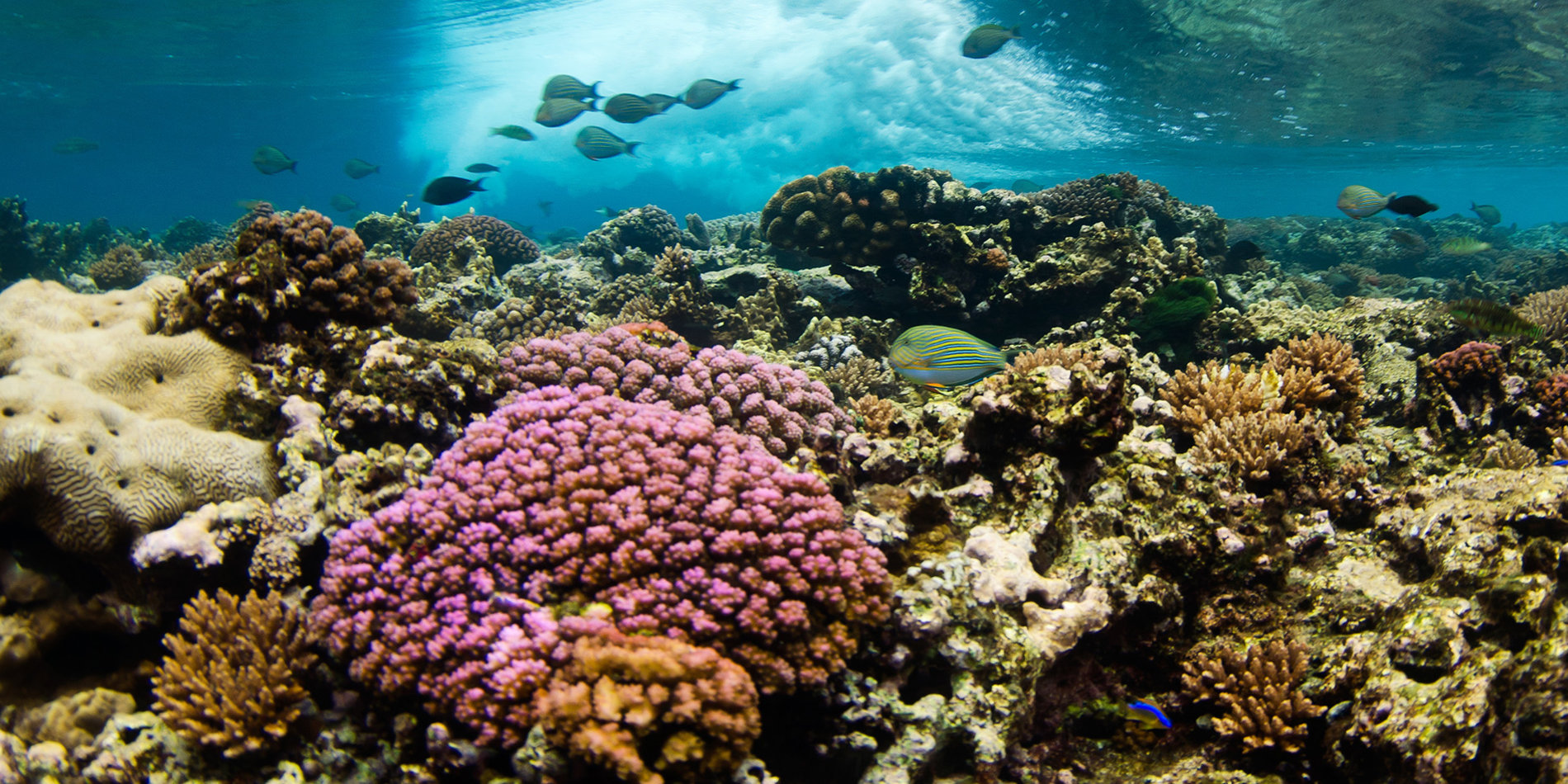
A new aerial technique maps coral reefs with unprecedented precision
Of all of Earth’s ecosystems, perhaps none are more studied or fretted about than coral reefs.
Scientists have sought to map and photograph their every nook and complex cranny by sending down divers, armed with little more than tape measures and cameras, to scour reefs for clues about how climate change may be affecting the health of the oceans and, by extension, the planet.
Now, an interdisciplinary team of Stanford engineers are studying reefs with previously unimaginable precision. To study the reef around Ofu, an island in American Samoa, they used airborne drones to make 3-dimensional maps of the reef’s structure that provide such fine resolution that they are 1 million times more precise than hand-measured efforts. They then used these maps to develop sophisticated software that simulates how ocean waters flow through the Ofu reef’s subsurface labyrinths.
The result, described in an article in the Journal of Physical Oceanography, is the first experimental confirmation of a 40-year-old theory which postulates that the more vibrant and complex the structure of the reef, the better able it is to slow down the water to extract precious nutrients, and also help protect itself against storms.
The work was led by environmental engineer Stephen Monismith and aeronautical engineer Juan J. Alonso. These new techniques, in addition to proving their usefulness in this study, will better equip scientists to predict what sorts of underwater flows, wave action and temperatures may help preserve healthy reefs and prevent a process called “bleaching” that turns once-vibrant coral ecosystems into lifeless white rock.
Justin Rogers, a postdoctoral scholar in the Bob and Norma Street Environmental Fluid Mechanics Laboratory and lead author of the study, developed the new computer models that obtained the experimental confirmation at the heart of the paper.
Their underwater modeling breakthrough took advantage of the precise 3D images generated by an aerial mapping technique that was recently developed by Alonso and his former PhD student Ved Chirayath. They adapted drones and sensing cameras from equipment used by the NASA Ames Center for Advanced Sensing, where Chirayath is now a staff scientist.
One of the challenges of aerial mapping is that as waves move over the surface of the water they distort the light, making structures like coral hard to see, much less measure. To overcome the issue, the researchers conceived of waves like eyeglass lenses passing over the sea bottom. They used this lensing effect to focus their instrumentation, improve resolution, and eliminate distortion. Using this technique, which they call fluid lensing, they could photograph the reefs from above and mathematically correct the distortion after the fact to map the subsurface structure in three dimensions. “And so the wave action that many would consider a nuisance was really an opportunity,” Alonso says.
Rogers then combined these aerially obtained 3D maps with measurements of the reef made by Samantha Maticka, a PhD student in environmental fluid mechanics and hydrology, to develop a new computer model of unprecedented sophistication that simulated water flows through the reef with a precision that was previously unattainable.
“Almost every key function on the reefs is impacted by flow, and to develop high-resolution models like this is key to a complete understanding of how reefs work,” says Monismith.
With the proof of concept behind them, next up for the team are additional trials in more challenging reef areas than the relatively shallow waters of Ofu. “We picked this fairly simple reef to study first,” Rogers says. “Next, we want to see how our model works with more complex conditions.”
This work was supported by a grant from the National Science Foundation. Other contributing authors include Professor C. Brock Woodson of the University of Georgia.


